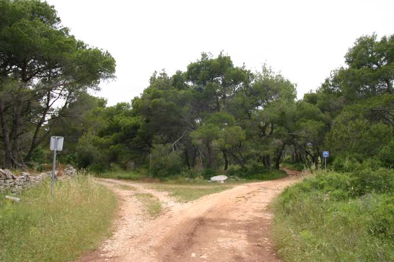
17730. SE view of Obrnje (Turn Around), road crossing above Stupica vela bay - road from Stupica vela forks right to Muna, where it gets paved after 1.5 km, and left to Selo, unpaved for nearly 3 km, up to the graveyard.
17730. SE view of Obrnje (Turn Around), road crossing above Stupica vela bay - road from Stupica vela forks right to Muna, where it gets paved after 1.5 km, and left to Selo, unpaved for nearly 3 km, up to the graveyard.
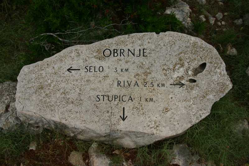
17731. Road sign, engraved in stone, in the center of previous picture
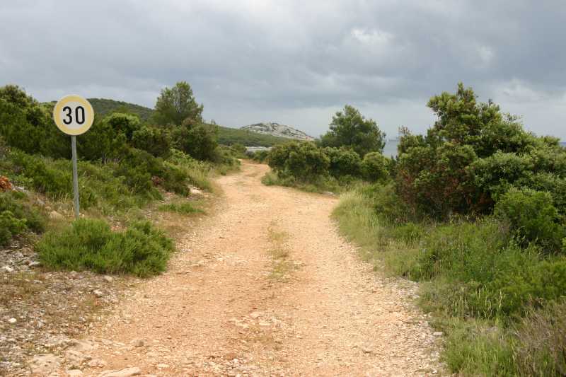
17732. Speed limit above Stupica vela bay is sort of a joke - travelling at speed even close to the limit would crush the car's train long before the sign.

17733. Uvala Prisliga has no port, but it has an access road and rock strata fall gently into the sea. Such plates can be used as emergency landing platforms. There is no pier, but a bollard is there, island Kakan (center) and Kaprije (right) are in the distance.
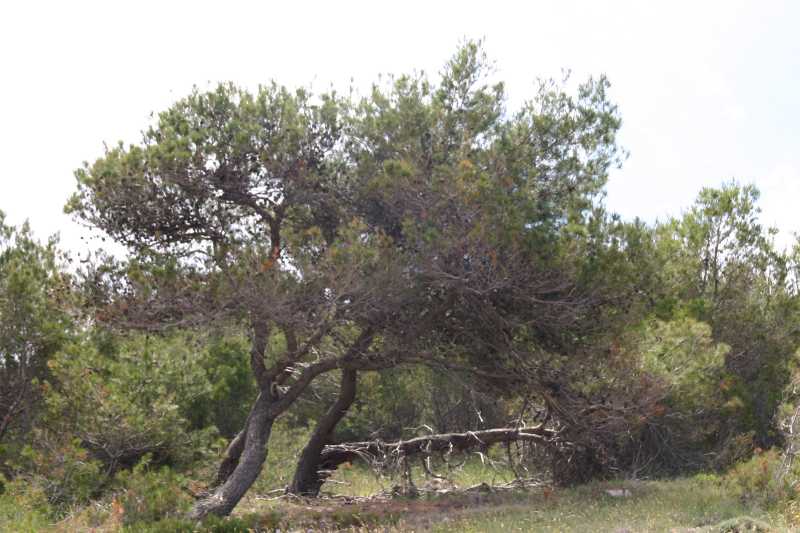
17734. Pine trees, seasoned by the wind

17735. On the coast somebody left a crane for lifting boats from the sea, in its original casing.

17736. About a third of the way to the southeastern tip of the island there are some pools on the shore, good for "mirror in the water" type of pictures.
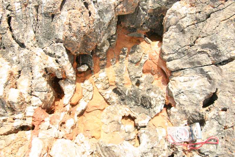
17737. Calcium carbonate fingers, intertwined with brown flowstone

17738. Towards the SE cape there are steep cliffs above the shore - island Mažirina in the distance
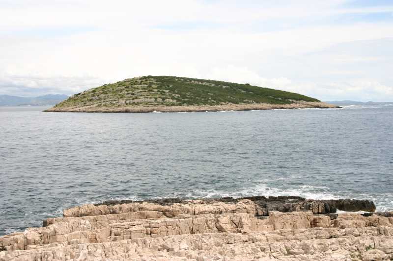
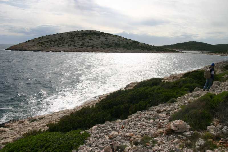
17739. Between SE tip of the island and the island Mažirina there is about half a kilometer wide channel.
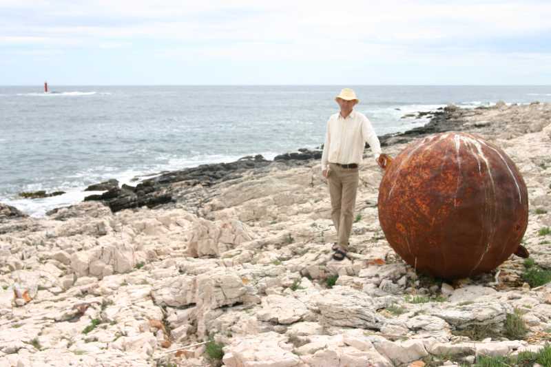
17741. Large port buoy landed on the rocky shore, signed reef in the distance.
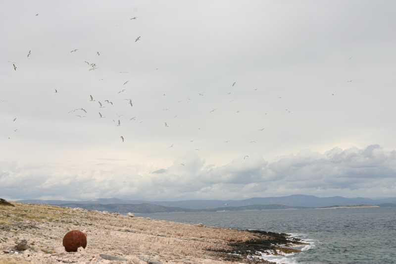
17742. SE tip of the island with the buoy and seagulls

17744. Sand lizards, Lacerta agilis Linnaeus abound on the island.
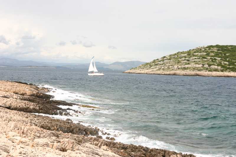
17745. Sailing boat in the channel

17746. Rocky coast with the reef in the distance
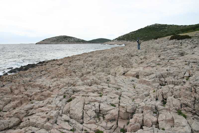
17747. The belt of exposed rock is quite wide at the cape and gets narrower again further along the coast; Kabal peninsula is in the distance.
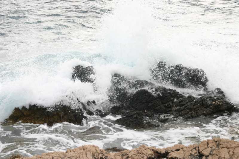
17748. Rocks in the sea are dark, and white above sea level; the play of waves and rocks.
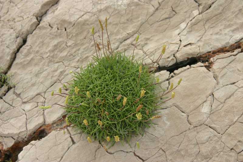
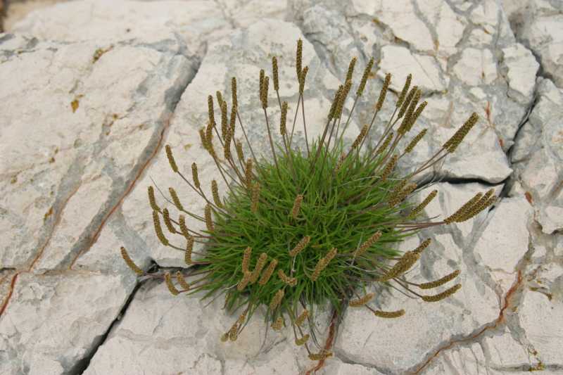
17749. An oasis of ? in the rock

17750. A bulge of rock strata
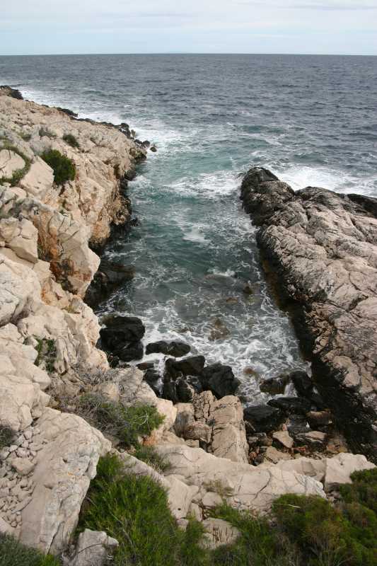
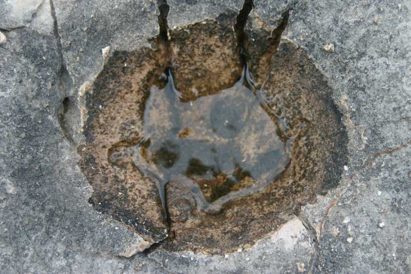
17751. Deep fracture in the shore, up close
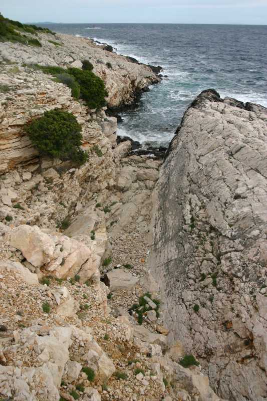
17752. Deep fracture in the shore, entire view
17753. Sunset view of the Kabal peninsula
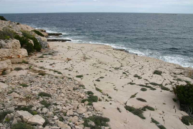
17754. Rock strata are exposed on the shore and form plates, smaller the inclination, bigger the plate. This one is the biggest encountered, with a dip of 172 degrees (south) and inclination of 10 degrees.
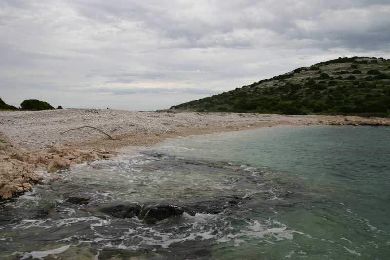
17755. There are no sand beaches on Žirje itself, but the isthmus between the island and Kabal peninsula is the longest pebble beach.

17756. Large pine-tree trunk on the shore
17757. Greener plate of ?
17758. Paw-shaped recess in the stone
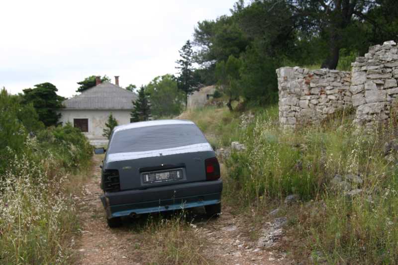
17759. Silent checkpoint: an old Fiat Tipo, with taped cardboard in place of a broken rear windshield, prevents access by car.
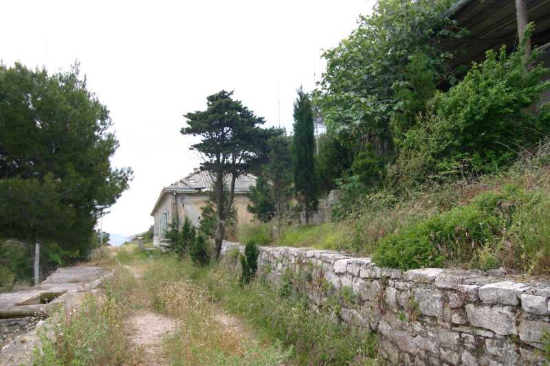
17760. Old JNA (Yugoslav National Army) barracks, abandoned in 1991 are in different condition, some collapsed, some still with a reasonable roof, for now they are overgrown only with grass.

17761. Plateau in front of the main building is a terrace with magnificent view
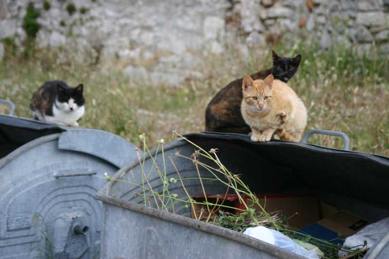
17762. Cats on waste containers in the port

17763. Plavi val passenger boat Žirje - Šibenik - Žirje timetable
 II - The island
 III - Žirje - Šibenik - Žirje
